Are you planning to rent a car in Malaga and explore the stunning region of Valle del Guadalhorce? Look no further! This article will provide you with recommended car routes to discover the charming towns, breathtaking landscapes, and beautiful nature of this region.
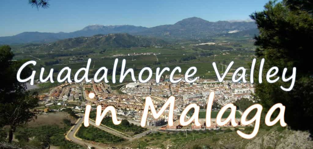
The Guadalhorce Valley or Valle del Guadalhorce in Spanish, is a region in the province of Malaga, formed by the Guadalhorce river. It is one of the nine regions of the province and is made up of 8 municipalities: Alhaurin de la Torre, Cartama, Alhaurin el Grande, Coin, Alora, Pizarra, Almogia and Valle de Abdalajis.
There are many natural attractions to discover in the towns of the Valle del Guadalhorce region. For example, you can visit the ancient Castle of Cartama, built by the Romans and remodeled by the Arabs. But we invite you to continue reading to discover the beauty of this region of Malaga.
Don’t forget to take advantage of the recommended BTT and hiking routes to fully immerse yourself in the beauty of nature in Valle del Guadalhorce. So buckle up and get ready to explore this stunning region by car!
Recommended routes by car
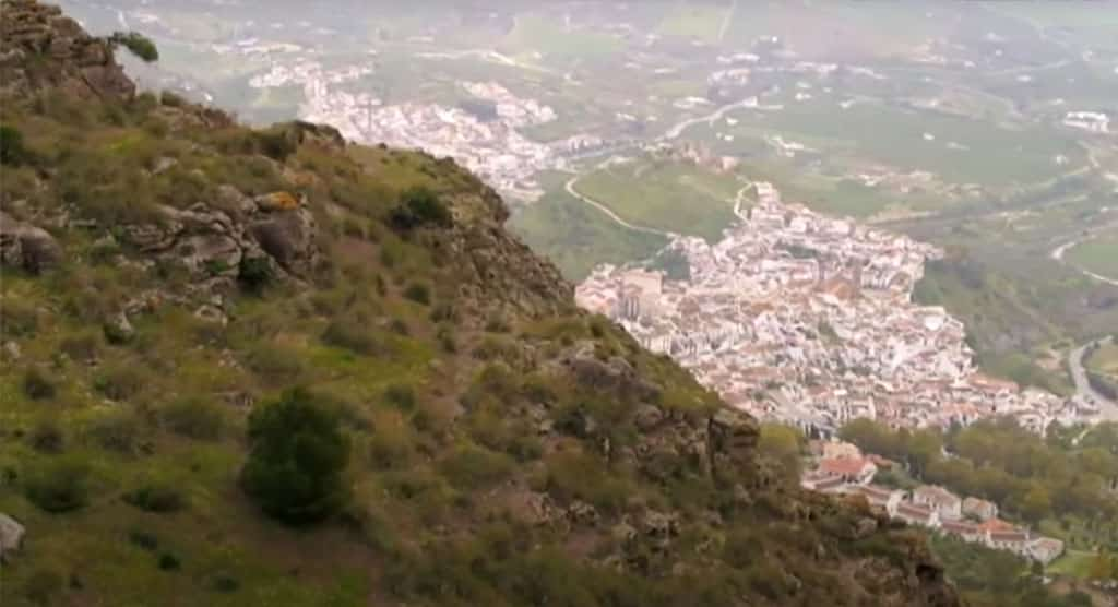
The Guadalhorce Valley is a fertile and important region in Malaga. The river that flows through the Gaitanes Gorge creates a lush valley. There are many scenic car routes to explore in this area. Some of the recommended destinations to reach by car are:
Pizarra
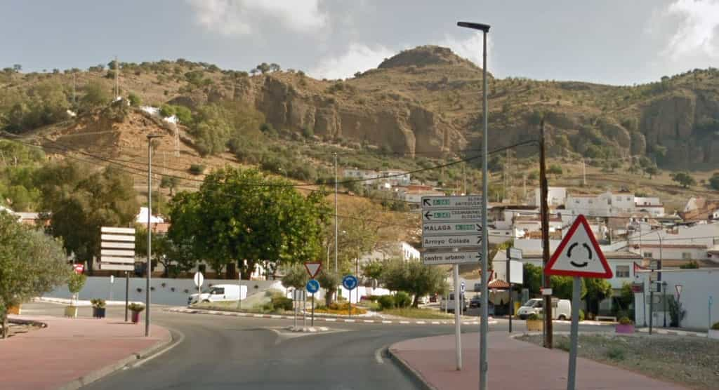
As a visitor to Pizarra, you will find a modern town with a rich history and plenty of attractions to explore. The town is located at the foot of the Sierra de Gibralmora and is crossed by the Guadalhorce River, which irrigates the traditional citrus orchards that make up a large green mantle in the area.
In Pizarra, you can stroll through the streets and enjoy the local architecture, visit historical landmarks, and sample the delicious local cuisine. The town is known for its friendly locals, who are always happy to share their knowledge and recommendations with visitors. Whether you’re interested in history, culture, nature, or simply relaxing and enjoying the beautiful surroundings, Pizarra has something to offer every traveler.
Getting there
Driving from Malaga to Pizarra is a straightforward journey that takes approximately 36 minutes. The distance between the two locations is around 34 km and the most common route is via the A-357. This route offers scenic views of the Andalusian countryside and is a great way to explore the region.
Activities and places to visit
- Hiking route Raja Ancha: https://goo.gl/maps/C56N67gZupR5vvjT7
- Necropolis: https://goo.gl/maps/Momm44ThkJE3EjMX8
- Dark Cave: https://goo.gl/maps/ATLhqaHncBmoQgLf7
- Viewpoint: https://goo.gl/maps/8cNihnnDanwamJyV8
- Hermitage of Fuensanta: https://goo.gl/maps/kY9F96HYaykWe7tk6
- Museum: https://goo.gl/maps/n6jzfTsm8g2X14te9
Coin
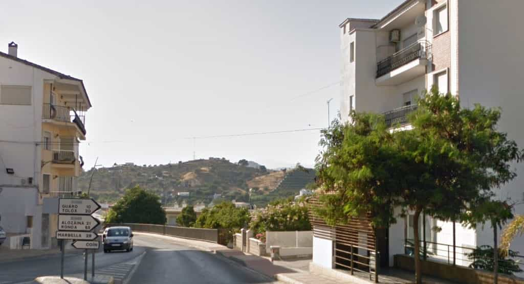
The city is crossed by the Pereila and Río Grande rivers and its relief includes places such as Albuqueria and Barranco Blanco, as well as Sierra Negra, Alpujata, which connects the municipal term with that of Monda, Sierra Gorda and Sierra Chica.
Coín has a rich history with archaeological remains from prehistory, including the Cerro de Ardite, Cerro Carranque or Llano de la Virgen. Roman and Visigoth remains have also been found, such as the burial of Cerro de las Calaveras. The caves of the rock church were recovered a few years ago for events.
Getting there
- To get to Coín from Malaga Airport by car, take the A-357 motorway towards Cartama/Coín and take the exit onto the A-404 towards Coín/Alhaurín el Grande. Then, follow the signs to Coín.
- To get to Coin from Pizarra by car, take the A-357 towards Cartama and then take the exit onto the A-355 towards Coin/Marbella. Follow the signs to Coin.
Activities and places to visit
- Sendero Albuqueria: https://goo.gl/maps/wXL9YehEEpUjhen57
- Barranco Blanco: https://goo.gl/maps/ySmb5tRUNjzZ4tCc9
- Horseback riding tours: https://goo.gl/maps/8NxHdL4fiM9S68QA9
- Nacimiento Park: https://goo.gl/maps/UcTou3LMy7hWDY526
- Hermitage remains: https://goo.gl/maps/TZSv6fcsdn7aDpPr8
- Shopping Centre: https://goo.gl/maps/iLacTsav59c7EiQq8
Alhaurín el Grande
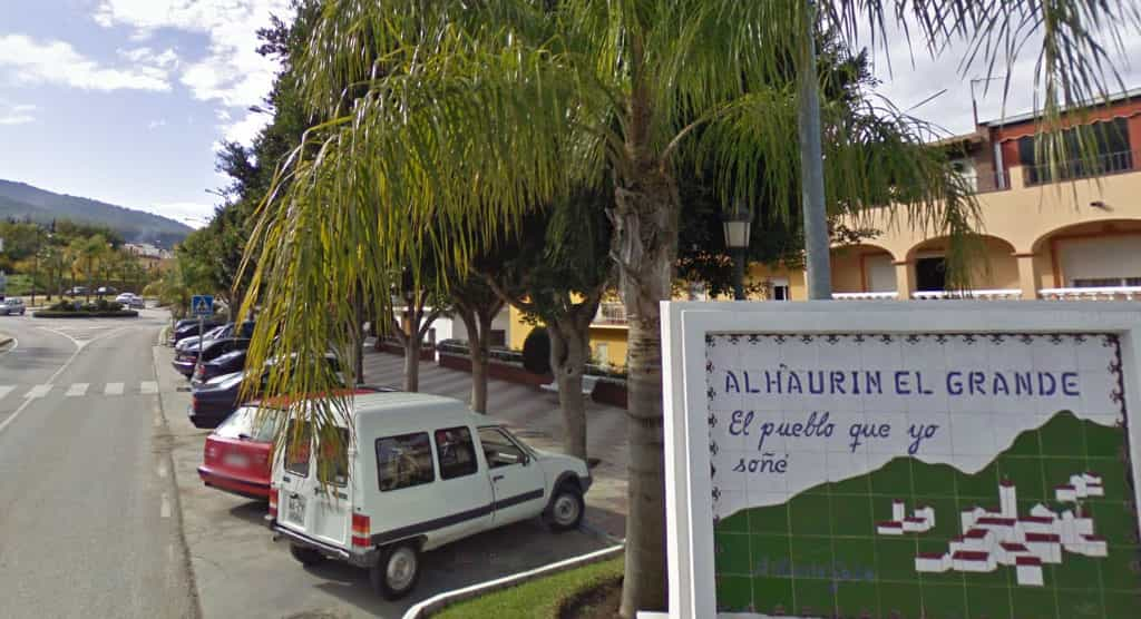
The origin of the name comes from the Arabs, who called it Alhaurín, with the Catholic Monarchs adding “el Grande” to distinguish it from the neighboring town of Alhaurín de la Torre after the conquest of both places in 1485.
The municipality of Alhaurín el Grande has seen how throughout history, Phoenicians, Greeks, Romans, Visigoths and Arabs have settled in its surroundings.
Getting there
- To get to Alhaurin el Grande from Malaga Airport by car, take the A-357 motorway towards Cartama/Coin and take the exit onto the A-404 towards Alhaurin el Grande/Alhaurin de la Torre. Then, follow the signs to Alhaurin el Grande.
- To get to Alhaurin el Grande from Coin by car, take the A-355 towards Marbella and then take the exit onto the A-404 towards Alhaurin el Grande. Follow the signs to Alhaurin el Grande.
Activities and places to visit
- Hiking route: https://goo.gl/maps/t9euGcer9ZyJmKDDA
- Acebuche Fountain Hiking Route: https://goo.gl/maps/pTyEnxSa8fLDhYxN8
- Las Cadenas Hiking: https://goo.gl/maps/FWF4Q1pWM9krwo8j9
- Peñon Gordo hiking trail: https://goo.gl/maps/ERNajwvmfRpZ89h28
- Mota Castle and hiking: https://goo.gl/maps/JAfe1Lm82ZitS7UQ8
- Urique Tower: https://goo.gl/maps/a7SMif4Yhi3YQwXS6
- Muslim Windmill: https://goo.gl/maps/Q4V6hH8WE6EegtiB8
Cartama
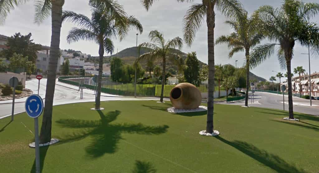
The landscape of this municipality is characterized by the contrast between the plains of orchards on both sides of the Guadalhorce River and the gentle hills of olive and almond trees located to the north. This unique combination of fertile farmland and rolling hills creates a stunning backdrop for visitors to explore. With its rich history, charming architecture, and friendly locals, Cartama is a must-visit destination for anyone looking to experience the beauty and culture of southern Spain.
Getting there
- To get to Cartama from Malaga Airport by car, take the MA-20 motorway towards Malaga and take exit 7 onto the A-357 towards Cartama. Then, follow the signs to Cartama.
- From Alhaurin el Grande by car, take the A-404 towards Alhaurin de la Torre and then take the A-357 towards Cartama. Follow the signs to Cartama.
Activities and places to visit
- Cartama Castle: https://goo.gl/maps/paC6zLXPXfjTYTRBA
- Hermit’s Cave: https://goo.gl/maps/iQ24kn6WfiVBpqFVA
- Guadalhorce trail: https://goo.gl/maps/wioWzET8hBvLLFap9
- Iron Bridge: https://goo.gl/maps/5g3JLjW8rmpFnLmd7
- Museum: https://goo.gl/maps/BcshsLZY36iSxRFK7
- Archaeological remains: https://goo.gl/maps/cSo2TdSDzijhmnoP7
- BTT routes: Alhaurín el Grande – Cartama.
- Birdwatching routes: Los Espartales (Cártama), Junta de los ríos (Cártama).
Guadalhorce Valley video
You can enjoy outdoor activities such as hiking and birdwatching at any time of the year.

